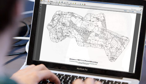
Downloadable PDFs of English and Welsh Parishes
Parish boundaries as they were in 1911
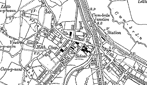
Ordnance Survey County Series mapping (1880 - 1910)
Scale: 1:10,000
County Series 1:10,000 map downloads
Published between 1880 to 1910
Old Parish Maps are essential resources for family history researchers, genealogists and historians. As Parish Boundaries have changed over time, it's essential to know where your Ancestors lived and to understand the landscape that shaped their lives.
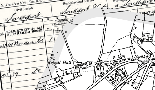
Provide a direct link to Census and Parish Records.
Download the PDF to view on screen*.
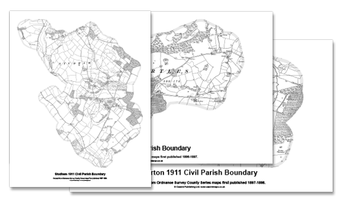
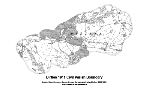
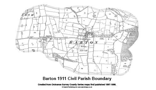
Boundaries taken from the 1911 Census.
Detailed Ordnance Survey Mapping.
* These maps are designed for research rather than decorative purposes and ideally to be viewed on screen. Sizes vary and may not fit on to A3 or A4 paper at the scale provided. You will need Adobe Reader® or a similar PDF reader to view the maps. Some larger Parishes have been split in to two or more files due to file sizes. Where multiple files are used these will be downloaded in ZIP files. You will need to be able to unzip the files to view them.
Over 15,000 individual historical Parish Maps are now available to download and to print at home. These maps provide a vital link to Parish Records and show in great detail the historical Parishes in which your ancestors lived and worked.
Maps based on Ordnance Survey County Series 1:10,560 maps from the cusp of the 19th and 20th centuries.
Each map is shown with a Historical Parish Boundary** from the 1911 census
** Boundary has a geographical ground extent of 250 metres and is shown to a minimum of 275 metres outside of the actual boundary to allow for imperfections in the original mapping and boundary data - See image. View Keys & Legends
About the Maps The origins of the six-inch to the mile maps (1:10,560) date back to 1824 when this scale was adopted for a survey of Ireland. By 1840 it had been decided to extend the project to Great Britain. To conduct a survey at such a scale, every corner of the country, including private property, would need to be visited. The following year, the Survey Act was passed which gave surveyors the right to enter any land for the purposes of carrying out their duties. It also specified the types of boundaries that the new maps were to display (down to parish level).
Cassini has reproduced County Series Parish Maps for the whole of England and Wales. This involved combining more than one original sheet to give an appropriate area of coverage. In the process, the maps have been digitally enhanced and enlarged slightly to 1:10,000 to bring them into line with more recent maps at this metric scale.
 Old Parish Maps are essential resources for family history researchers, genealogists and historians. As Parish Boundaries have changed over time, it's essential to know where your Ancestors lived and to understand the landscape that shaped their lives.
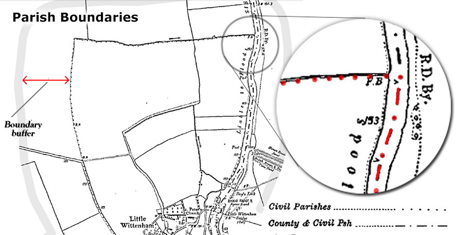