| Create your own site-centred Printed Maps |
|
 |
|
 |
Printed Maps
Cassini’s downloadable maps are digitally enhanced reproductions of the original Ordnance Survey maps.
• Printed site centred maps
• rolled and posted to you in a presentation tube
• Available for all historical OS series.
• Including personal inscription.
• Coverage of England, Scotland and Wales.
Alternatively, why not choose our instant download PDF maps.
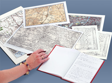
Genealogical and local history research is a complex process that uses historical records to answer questions about ones ancestors, the time they lived in, the work they undertook and their surroundings. Reliable conclusions are based on quality sources and Cassini's historical maps have an important part to play in discovering where and how your ancestors lived. |
 |
| Maps available for site-centred downloads |
 |
|
|
|
|
|
|
|
1855-1896
County Series
1:2,500 |
1880-1910
County Series
1:10,000 |
1805-1874
Old Series
1:30,000 - 1:50,000 |
1896-1904
Revised New
1:30,000 - 1:50,000 |
1919-1926
Popular Edition
1:30,000 - 1:50,000 |
1945-1948
New Popular
1:30,000 - 1:50,000 |
Present Day
Ordnance Survey
1:30,000 - 1:50,000 |
1871
Registration
Districts
1:30,000 - 1:50,000 |
|
|
|
|