Cassini has set the standard for the provision of historical mapping and is committed to continuing to provide researchers with a wide range of products in an equally wide range of formats. We aim to produce ever more innovative products in the years to come.
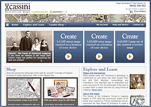
Cassini has a range of products and titles that is available through bookshops, other retailers and Cassini’s main website at www.cassinimaps.com
Cassini welcomes all forms of collaboration, from sales of our existing products through conventional wholesale or retail distribution channels to the creation of new products through joint-ventures, partnerships or licensing arrangements.